Map Plotter Solutions With a Graphics Printer
As cool as onscreen, interactive maps are, sometimes you just need a high-quality printed one to deliver the "wow factor" to that you need for your presentation.
But, when it comes to printing maps, many companies often a turn to their standard 4-color CAD plotter for this task. Too bad they don't realize that this is not be the best choice for the job.
This is because printing maps or aerial photos require much more dynamic performance than basic plotters can provide.
Learn the key points that you should consider when researching a map plotter - here are a few important aspects to keep in mind.
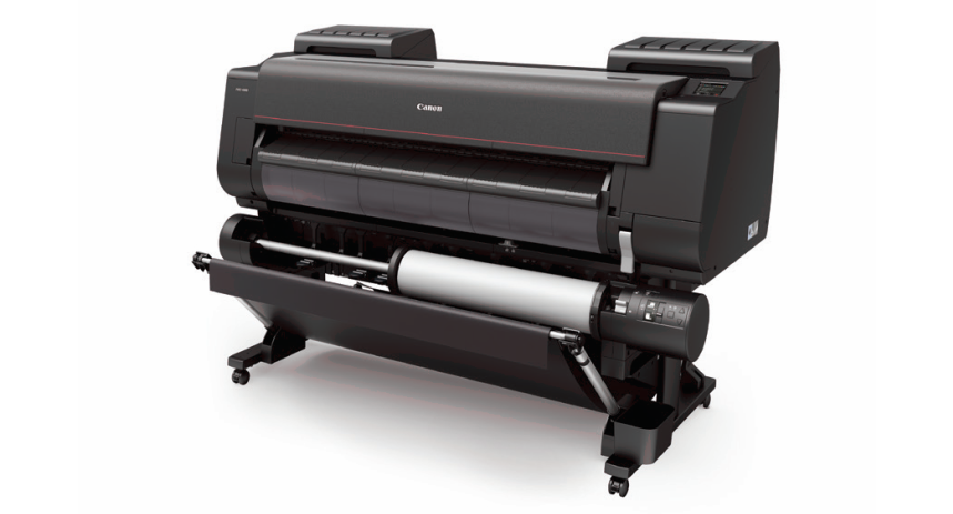
Pictured: Canon PRO 4100S - A great solution for printing maps
Shop now
Or request a custom quote
Color Space
Historically, CAD files have been simple black and white line drawings. Although color is starting to become more incorporated in CAD drawings and other technical files, the integration is relatively simple. It is usually in the form of color lines and not area fills.
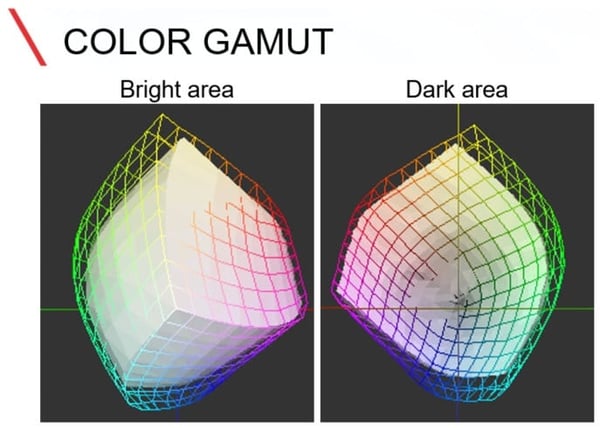
Maps however, have different requirements. They can range from having basic color areas to full-blown, photo-quality, satellite imagery.
At this point, a basic 4-color plotter can have some trouble producing a wide enough range of different colors to accurately render the image. This is because of the limited color space that basic CAD printers create.
(Canon defines color space as: A range of saturated colors that a device or file can embody. Various types of devices such as cameras, monitors, and printers all have different color spaces.)
Common CAD printers operate with a CMYK color space. They print using only four basic colors: Cyan, Magenta, Yellow, and Black. Whatever color combinations can be generated from these are the only colors that are capable of being produced by a CMYK printer.
To meet a greater color space demand, you should consider a printer that is loaded with more colors.
The wide-format printer industry calls them “Graphics Printers” but don’t let the name fool you. They are solid performers that work equally well in a GIS environment as they do in a print shop.
Graphic printers are usually configured with six or eight different colors that allow the printer to yield literally millions of different colors. These additional colors allow you to make photo-quality images. This can be very useful with aerial photo with data overlays.
Printing Width
Besides the color space concern, sizes with printing maps are often much larger than the thirty six inch format of many CAD plotters.
Usually a forty two or forty four inch plotter is preferred for printing maps. In fact, many archived aerial images on a 40-inch by 40-inch format.
So, wider is definitely better when maps are concerned.
Durability of Prints
There are two components of an ink jet plotter’s final product—print material and ink. Most people have a good idea when it comes to the durability of print media.
It is obvious that a Mylar film will last longer and have much better archival properties than standard paper. However, ink is something that is commonly overlooked.
 Photo credit: Neils Photography
Not all wide-format plotter ink is made the same. Even if you remove the name brand or manufacturer from the equation, ink can vary greatly.
Basic CAD plotters typically use a dye ink. This is simply an aqueous (water-based) solution that is colored Cyan, Magenta, Yellow, or Black. In layman's terms, Dyes are simply water colors.
Dyes yield good results, but they are not meant for long-term display. That is because dyes are very susceptible to fading and discoloration after exposure to sunlight and oxygen. This is the cause of faded prints.
Pigment Inks - hold up much better to the elements. Pigment inks are made of microscopic solid particles that are suspended in a liquid.
These encapsulated particles actually bond to the surface of a paper or substrate. Since the color of a pigment is determined by the solid bead and not the liquid carrier, they are much more durable and can be displayed for extended periods of time with no image degradation.
Usually, maps are produced to display, so pigment inks work great for that purpose. By combining both pigment inks and durable substrates, it is possible to produce maps that are capable of long-time displays.
Takeaways
Map printing is usually a specialty application and not the norm for most companies. But, in the case of printing maps or other GIS imagery, having the right equipment available can make all the differences in the world with the final product.
- A wider color space will produce color more accurately, resulting in more vivid images
- Make sure that the printer is wide enough to accommodate the largest maps that need to be produced
- Pigment ink give maps much better durability and long-term display characteristics than dye-based inks
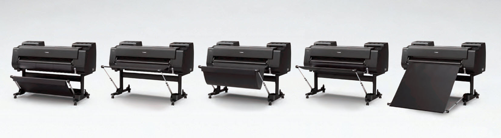
The PRO Series stacker can be configured multiple way to ensure your map prints properly.
Editor’s note: Originally published in 2014, updated Feb 2020.

Comments