Today’s construction projects move fast, and you need solutions to meet demanding and ever-changing deadlines. That is exactly why the industry is embracing innovative and powerful technologies such as Reality Capture.
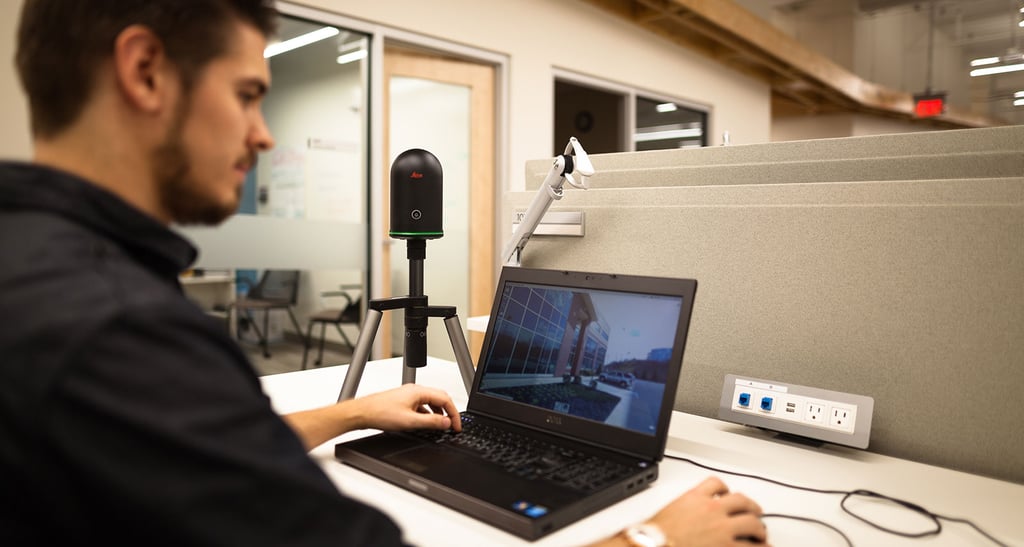
Reality Capture for construction, also referred to as Laser scanning or Lidar, is the digital process of collecting accurate measurement data about real-world conditions. The physical device that captures reality is a 3D terrestrial laser scanner, but the entire process for capturing and processing the data is reality capture.
A three-dimensional laser scanner is a non-contact, non-destructive device that captures the shape of a physical object by using a line of laser light. The scanner literally shoots a bunch of different data points to create a point cloud, or a large set of data points represented in a coordinate system, containing X, Y, and Z coordinates and can also contain RGB values for each individual point.
When an area is scanned, hundreds of thousands of points are collected. The resulting image is a point cloud full of vector data which can be very accurately modeled and measured, sometimes with up to .0005 inches of the exact value.
3D laser scanning lets users to measure current job site conditions quickly and easily with pin-point accuracy. This is very beneficial, because often, these structures do not exist in a BIM environment, or the previous blueprints and documentation have been either lost, damaged over time or they no longer represent the current condition of the structures.
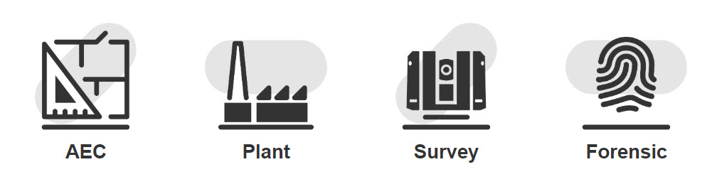
Measurement has always been a core tenant of the construction industry. With the advent of laser scanning, as-builts, monitoring and verification have been radically simplified. Learn how reality capture technology can dramatically improve surveys, site visibility, progress reporting, and construction inspection processes.
Manufacturing plants and chemical plants are living facilities that require constant updates and upgrades to remain relevant and competitive. Learn how Leica Geosystems’ precise hardware and software solutions simplify everything from as-built surveys to daily asset management and major installations and upgrades.
Modern measurement professionals can reap major efficiency and cost-savings benefits from integrating laser scanning into their workflows. Learn more about how laser scanning is bringing new levels of productivity and precision to the survey industry.
Public safety officials have one chance to document a scene and there is no room for error. From ensuring the exact capture of a crime or accident scene so no critical piece of evidence is left out to quickly clearing an incident to restore normal operations, these professionals need precision, speed and safety. Leica Geosystems offers the tools you need to document scenes quickly and accurately and communicate results to colleagues with confidence.
![]()
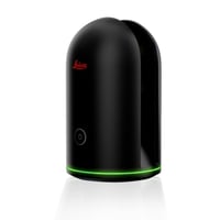
The Leica BLK360 captures the world around you with full-color panoramic images overlaid on a high-accuracy point cloud. Spend less time processing and more time creating deliverables.

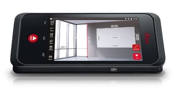
The Leica BLK3D is a real-time, in-picture 3D capture and measurement solution. You can literally take a picture and instantly have access to measurable data embedded in the image.